Gis Mapping
Advertisement
PhpArcIMS v.0.5.3
This project provides a set of php classes providing an easy way to connect to an ArcIMS server (GIS mapping and feature server from ESRI).
Eye4Software GPS Mapping Studio v.4.1
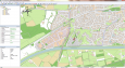
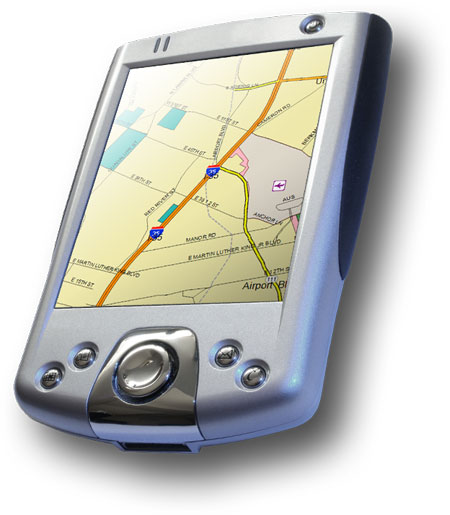
GPS Mapping Software for Windows, Loading topographic maps, Realtime navigation, GPS position tracking, Map import and export, Coordinate conversion and more
Canvas GIS Advanced (Mac) v.9.0.4
About Canvas GIS Advanced (Mac)Adds native support for Geographic Information System (GIS) data to Canvas.
Free Shapefile Viewer v.5.3.1
The free AvisMap Viewer opens most GIS/CAD and raster image file types and most ArcView, ArcExplorer, and MapInfo projects.
GPX Converter for ArcGIS v.2.0
GPX Converter for ArcGIS can convert GIS files to GPX format, allows for easy conversion of your GIS data (shapefiles, featureclasses in a geodatabase and other formats supported by ArcGIS) to GPX format (the GPS Exchange Format).
GrassPro v.6.4
GrassPro is based on the free, open-source product "GRASS 6.
Cadcorp SIS Map Browser v.7 1
Cadcorp Map Browser is an application which allows the user to browse OGC® standard geographic data served on the web. Global demand for open systems interoperability is accelerating. Open Geospatial Consortium, Inc.
Hydromagic v.4.1.12.315
Eye4Software Hydromagic is a hydrographic survey program tool, which can be used to map areas using a GPS and echosounder. Use the program to import, view and edit your maps, display your position and to record depths.
ORIMA v.10.0
ORIMA is an LPS add-on providing advanced aerial triangulation and visual analysis tools.